We decided to enjoy the 4th of July weekend by doing a couple of different adventures.
Our hiking adventure was the Pine Creek trail which is approx. 35 miles from Montrose, CO along Hwy 50 at mile post 130. The weather was partly cloudy to sprinkling on us throughout the hike.
Pine Creek trail has history as an old railroad grade along the Gunnison river. The trailhead has nice bathrooms and ample parking. We followed the Pine Creek as it cascades along the 232 steps down to the river in the upper Black Canyon to Morrow Point Reservoir.


Once we made it down the steps we were greeted with a beautiful view of the canyon and river. From here the path is a nice flat trail hugging the rivers edge through the canyon. It's hard to imagine that trains were able to transverse this edge as we walked along looking for evidence of the trains of the past. The tracks were removed in 1949 but the trestles and rail bed remained. Tourist in automobiles drove the old railroad route to reach the good fishing in the Gunnison River before the dams were built in the early 60's. Most of the rail bed has vanished under the rising waters of reservoirs created in the canyon.


Along the way we passed by and over some really pretty rocks that look like the name sake of the Black Canyon, black granite with white pegmatite veins.
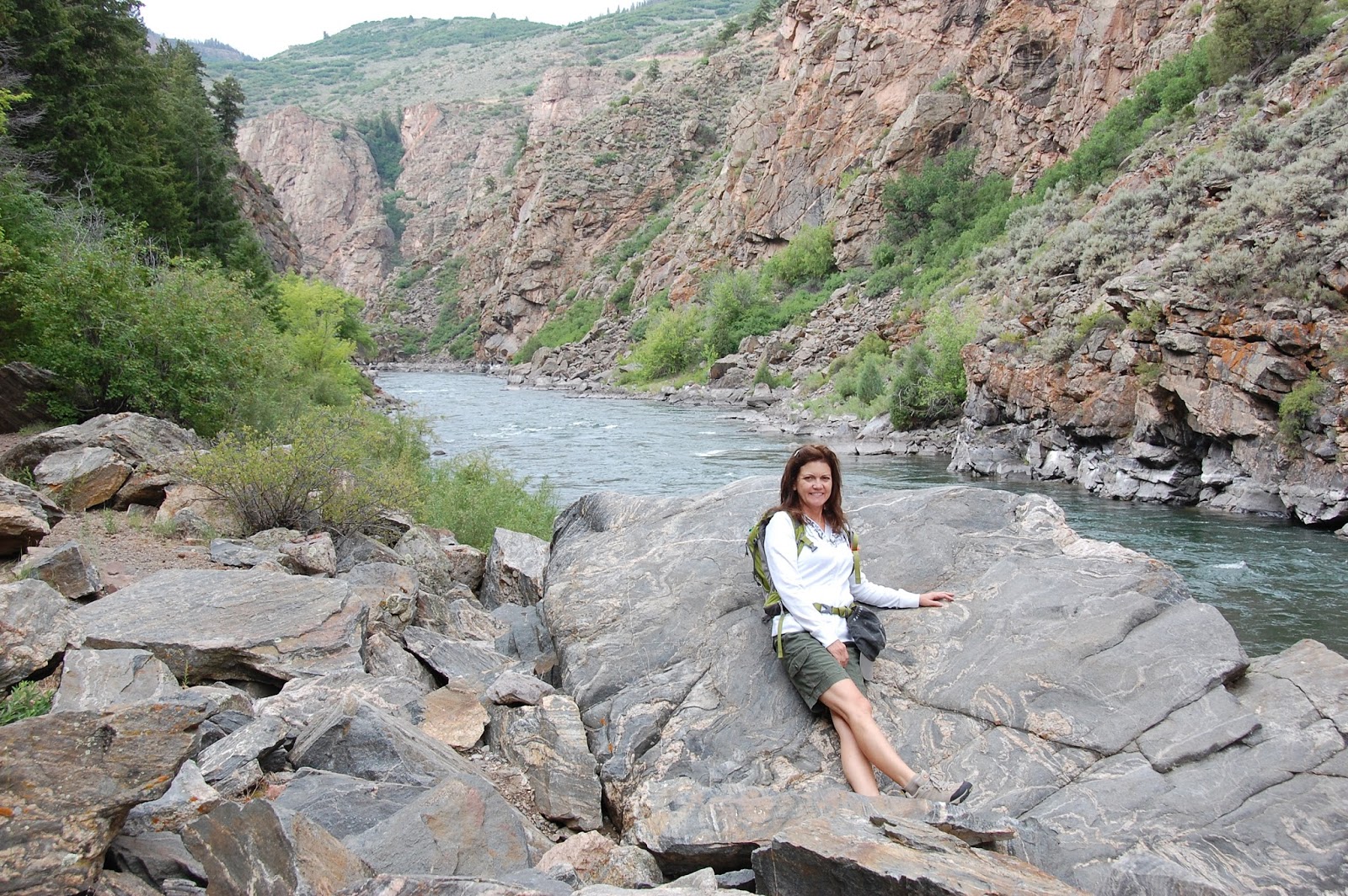 |
| Notice that I have a hoodie on - it was comfortable. Of course my better half had short sleeves. |
We only encountered one damaged area of the trail. This rock had fallen from the cliff above and taken out a tree and landed right in the middle of the trail! Glad we weren't around when that happened.

About 3/4 mile down the trail we reached the boat ramp for the Morrow Point boat tour offered by the National Park Service. Reservations are a must and walk-ons are not allowed. So we hope to take the tour at a later date. There are also pit bathrooms at the dock and a number of picnic tables along the trail.

The canyon scenery kept drawing us down the trail another 1/4 mile pass the dock then we decided to turn around as it started to thunder and sprinkle. Better safe than sorry.

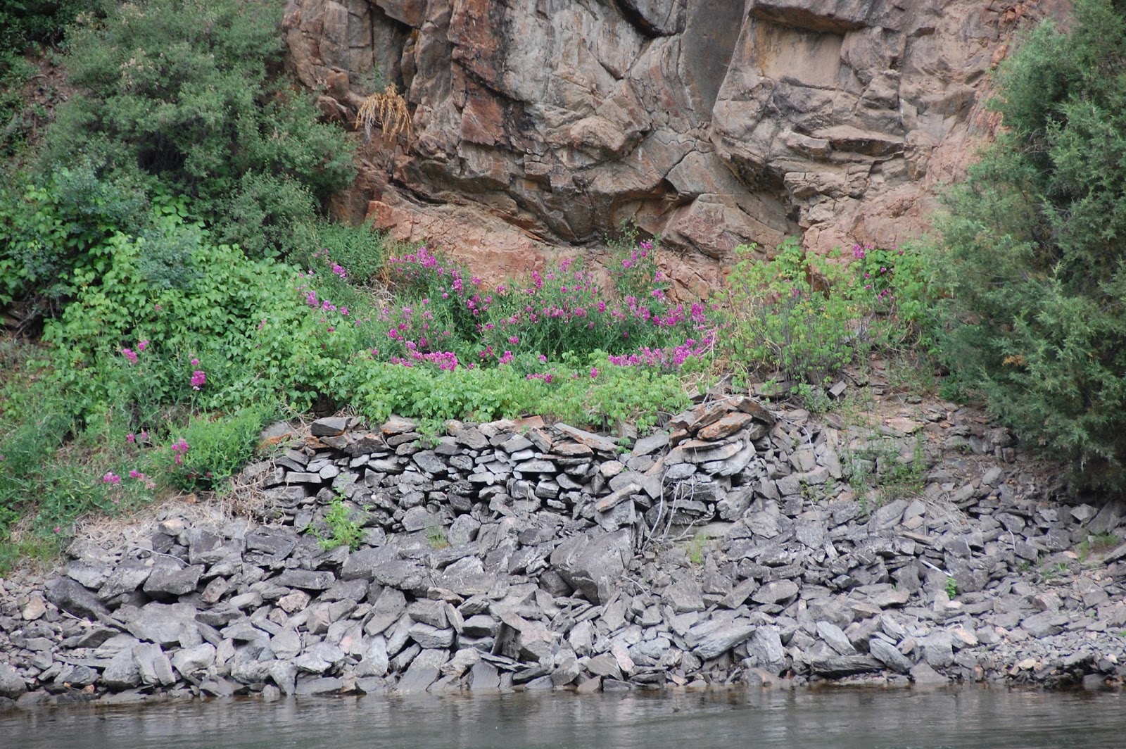
This photo does not do it justice to all the beautiful orange lichen on the cliff faces along the path.

As we continued back to the trailhead we once again enjoyed the views of the canyon and paused in wonder of the history through the canyon. On one of the interpretive signs along the path, there was a quote from Rudyard Kipling, 1889, after his train travels through the canyon that sums up the beauty of the area: "...We entered a gorge, remote from the sun... where a rock-splintered river roared and howled ten feet below the track... There was a glory and a wonder and a mystery about that wild ride that I felt keenly".
NOW - back up the 232 steps.


What is the 4th of July? It is a federal holiday commemorating the adoption of the Declaration of Independence on July 4, 1776, by the Continental Congress declaring that the thirteen American colonies regarded themselves as a new nation, the United States of America, and no longer part of the British Empire. It is the day we celebrate our independence.
For over a year we have planned that we wanted to spend the 4th of July in Ouray, CO. We've heard so many fun things about the Ouray celebrations. So we drove up early on the 4th to start our day with a pancake breakfast sponsored by the Ouray Mountain Rescue organization. Followed by watching the 10K run start in town and a couple hours later watched the runners cross the finish line. Every runner, young and old, is an inspiration to set your goals and go for it. The old fashion parade was the best we've seen in a while. We found out that there was a wet side and dry side of the street to sit. We elected to sit on the dry side so we could take photos and a good thing we did. There were so many water related vehicles and floats that had the sole purpose of soaking the wet side of the street. It was a blast to watch.


 |
| Win this Jeep - of course I am ! |
 |
| Here comes the water. |

of course... You can always find Jeeps in Ouray

 |
| The band - Gut Busters |
 |
| The 'wet' side of the street. |

At the end of the parade we were in awe when two Colorado Air National Guard jets did a flyover. It was quick and amazing. Hence no photos.
That night we returned for the fireworks. Many beautiful fireworks were enhanced by the sounds through the canyon.
Would we go again ? - you bet we would! Hope your 4th of July was blessed with fun and old fashion celebrations.
Until next time - Enjoy your adventure.


